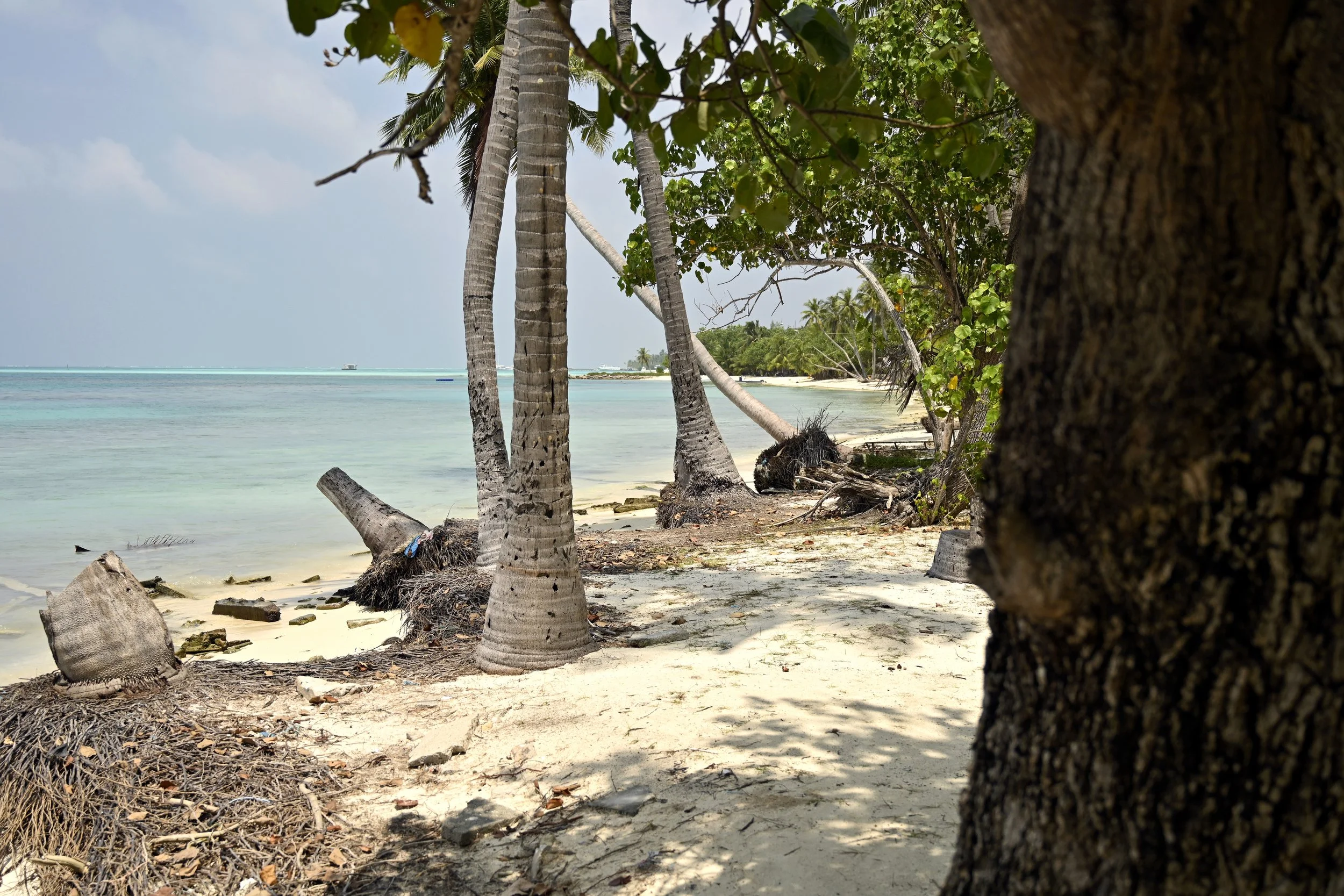
Heylhi 2.0
HDH. Vaikaradhoo & K. Dhiffushi
December 2023 - Ongoing
Heylhi, a beta mobile application, is a technology that uses citizen science to gather data regarding coastal erosion and flooding in the Maldives. The application has a user-friendly interface that enables the public to log/report/map any areas that have been affected by coastal erosion or flooding. Heylhi 2.0 is the upscaling of the initial pilot project, Heylhi, funded by the Asian Disaster Preparedness Center (ADPC)
Heylhi was piloted in HDh. Vaikaradhoo, an island highly prone to flooding and erosion. SIGS worked with the Island Council of Vaikaradhoo for a baseline assessment of the island, and produced a detailed drone map of the island, identified 6 locations to install erosion monitoring markers, pilot tested the mobile application and trained community members to use the application.
Heylhi 2.0 will involve upgrading the application, and replicating it in 6 other islands. These islands include K. Dhiffushi, Hdh. Vaikaradhoo, and 4 islands in Laamu atoll. The first phase of the project focuses on redesigning and upgrading the mobile application, developing sites for data collection and training to use Heylhi. The second phase is to identify possible data outputs from Heylhi, develop capacity for data analysis, and disseminate the produced data outputs.


